Map
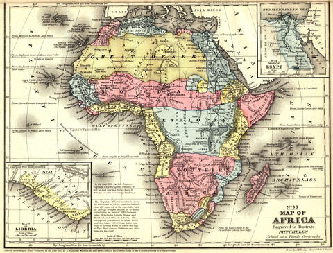
Map of Africa, ca. 1867
This nineteenth-century map depicts the known boundary lines, cities, rivers, lakes and elevation changes in Africa.
At a Glance
Language
English — USSubject
- History
- Social Studies
- Democracy & Civic Engagement
Map of Africa, ca. 1867

Map of Africa, ca. 1867
Credit:
Image courtesy of Michigan State University Libraries
The resources I’m getting from my colleagues through Facing History have been just invaluable.
—
Claudia Bautista, Santa Monica, Calif


